
从“意貌山”到“博罗尔”:欧洲人对帕米尔山结的认识史
|
宋其然,男,1997年生,浙江余姚人,复旦大学历史地理研究中心博士研究生。 |
收稿日期: 2024-04-01
网络出版日期: 2026-01-19
From ‘Imaus’ to ‘Bolor’: The Cartographic Legacy of the Pamir Knot in Europe
Received date: 2024-04-01
Online published: 2026-01-19
宋其然 . 从“意貌山”到“博罗尔”:欧洲人对帕米尔山结的认识史[J]. 历史地理研究, 2025 , 45(4) : 79 -93 . DOI: 10.20166/j.issn.2096-6822.L20240112
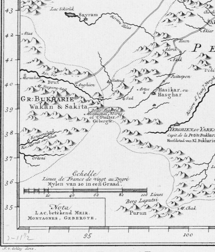
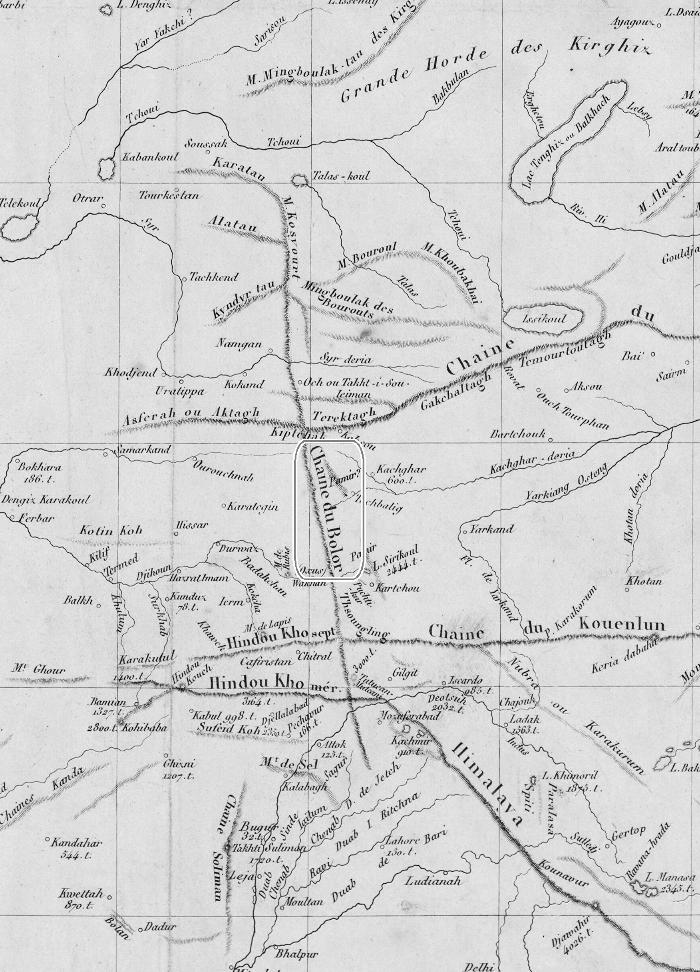
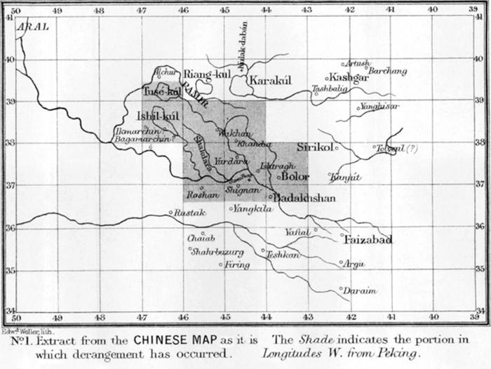
The toponym ‘Bolor’ first appeared on European maps no later than the early 14th century, following the publication of Marco Polo’s accounts. However, for centuries thereafter, it was rarely used by European cartographers to denote a specific geographic entity. One early and explicit cartographic representation appears in Bellin’s 1749 map Carte de la Petite Bukharie et Pays Voisins, where ‘Bolor’ marks a mountain knot in Innermost Asia. By the 19th century, ‘Bolor’ was sometimes depicted as a meridional range that merged with Ptolemy’s north-south trending ‘Imaus’. With the advancement of Oriental studies and scientific expeditions, European scholars in the mid-19th century rediscovered ‘Bolor’ and linked it to Chinese classical toponyms such as ‘Po-lu-lo’ and ‘Bo-lü’, identifying its location near Gilgit, south of the Hindu Kush Mountains.

Key words: Bolor; Bo-lü; Mount Imaus; Pamirs
/
| 〈 |
|
〉 |