
清代淮水归江水网格局与水利系统的变迁
|
由毅,女,1994年生,山东威海人,复旦大学历史地理研究中心博士研究生。 |
收稿日期: 2023-09-28
网络出版日期: 2025-05-20
基金资助
国家社会科学基金重大项目“9—20世纪长江中下游地区水文环境对运河及圩田体系的影响”(18ZDA178)
Pattern of the Huai-to-Yangtze River Water Network and Evolution of the Water Conservancy System During the Qing Dynasty
Received date: 2023-09-28
Online published: 2025-05-20
由毅 . 清代淮水归江水网格局与水利系统的变迁[J]. 历史地理研究, 2025 , 45(1) : 57 -70 . DOI: 10.20166/j.issn.2096-6822.L20230346
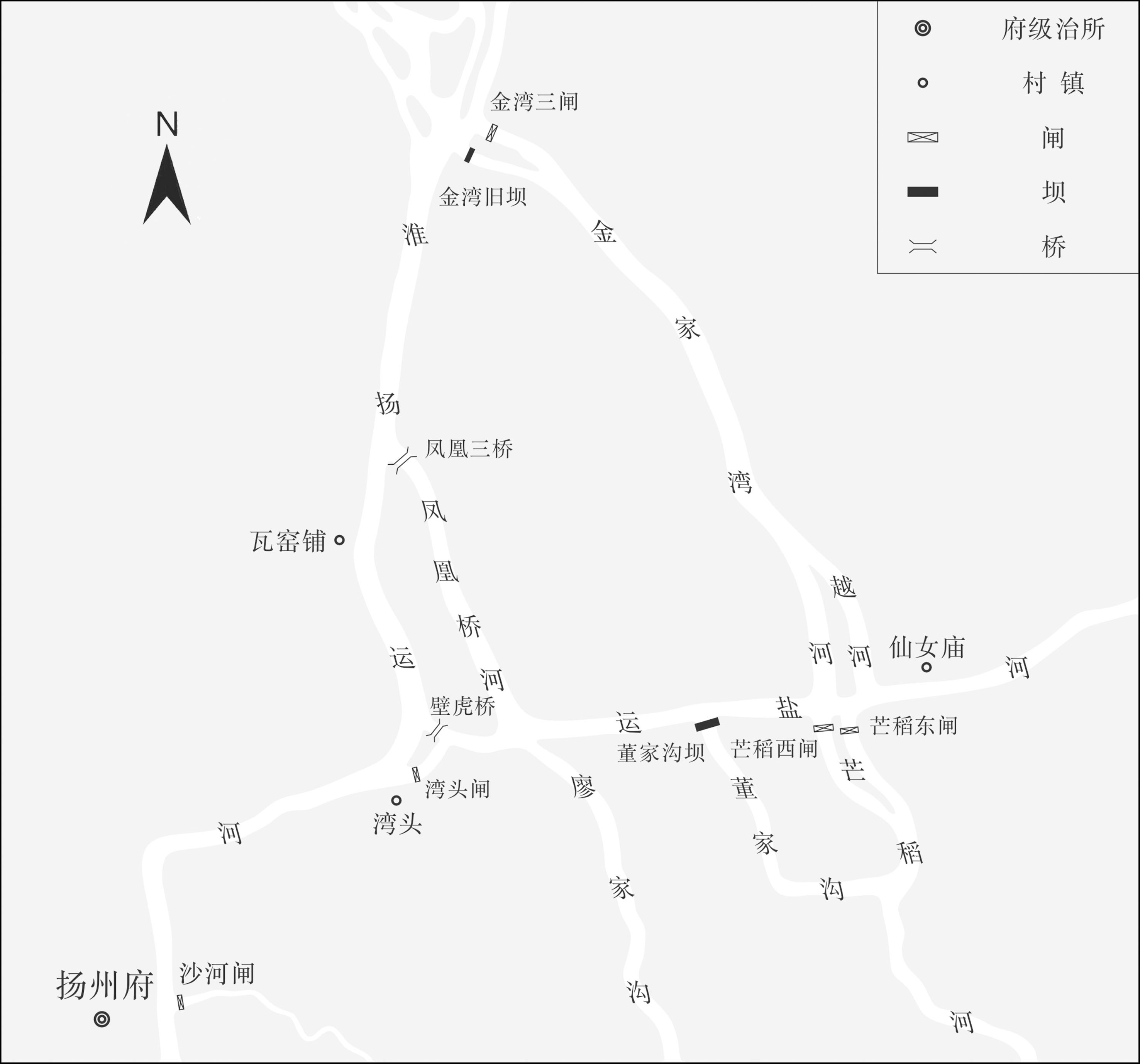
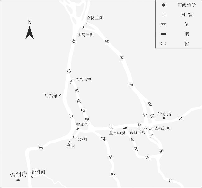
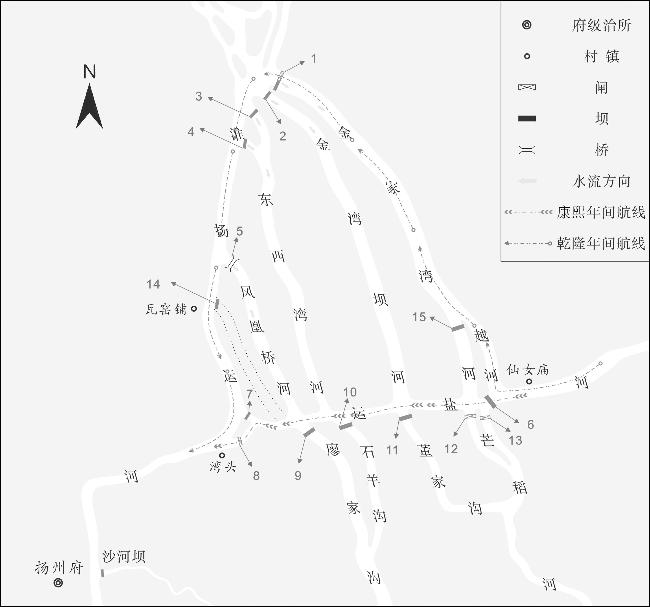
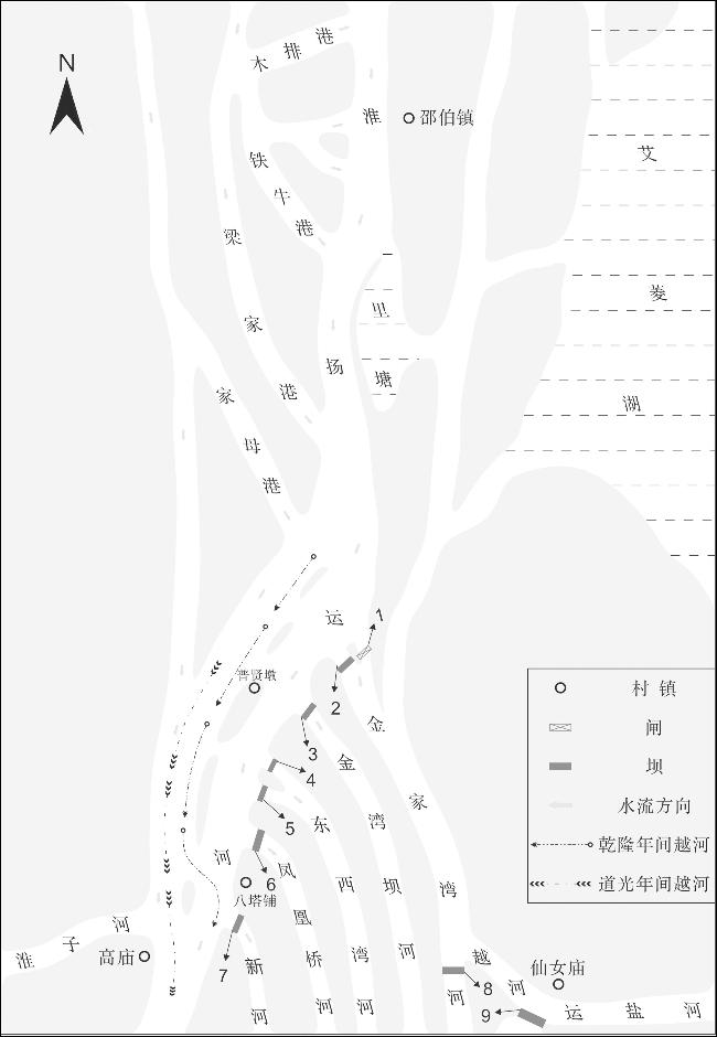
In the late Ming Dynasty, the government began constructing specialized watercourses to drain water from the Huaiyang Canal and the lakes on its western side into the Yangtze River. During the Qing Dynasty, as the main channel of the Huai River shifted southward, investment in water management projects increased significantly. To the east of the Huaiyang Canal and south of Jinjiawan (金家湾), a water transport and drainage hub system gradually emerged, centered around a cluster of watercourses, gates, and dams. This system became known as the ‘Guijiang Water Network’ (water network from the lower reaches of the Huai River to the Yangtze River, 归江水网). During its development, the Guijiang Water Network evolved numerous subsidiary watercourses, Guijiang dams, and overflow channels, which disrupted the navigation environment of the Huaiyang Canal and the Salt Transportation Canal. In response, officials gradually understood the hydrological connections between the Guijiang Water Network and the upstream rivers and lakes, and established the ‘Tenghu System’ (腾湖制度). This system coordinated water storage and discharge between the water network and the upstream areas, while also diverting salt transportation, grain transport, and flood discharge. This fully reflected the ecological governance wisdom of Qing Dynasty water officials in adapting to the southward shift of the Huai River’s main flow and the changes in the water environment.
/
| 〈 |
|
〉 |